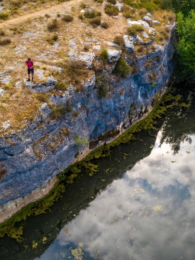
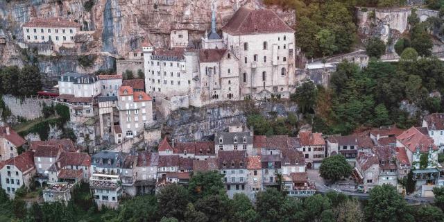
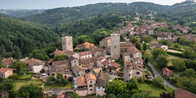
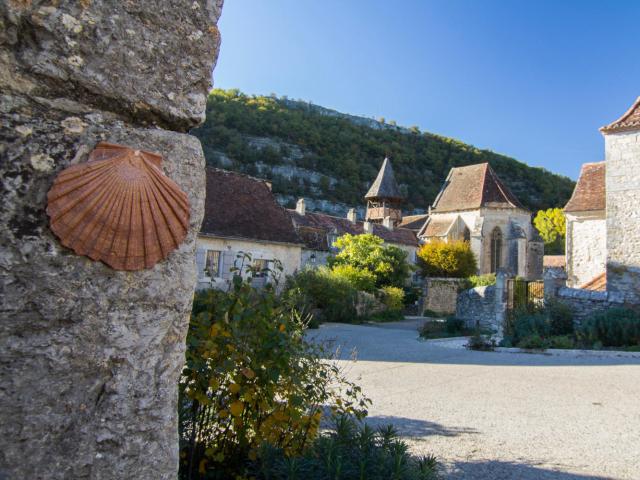
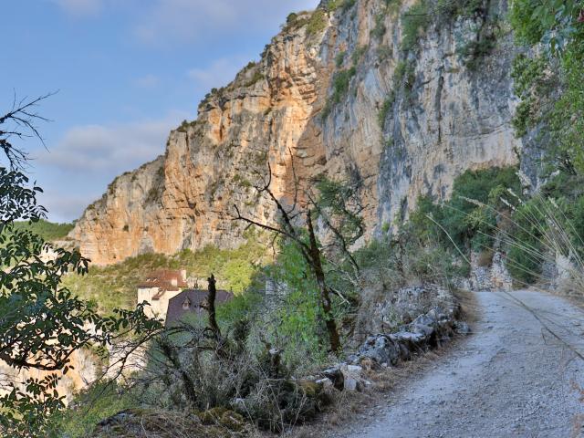
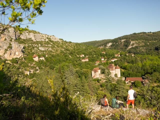
Sur Le Chemin De St Jacques © Lot Tourisme Gil Giuglio 190928 092743Sur Le Chemin De St Jacques © Lot Tourisme Gil Giuglio 190928 092743
©Sur Le Chemin De St Jacques © Lot Tourisme Gil Giuglio 190928 092743| Lot Tourisme Gil Giuglio
An experienceintense human

Walking the roads to Santiago de Compostela

Lands traversed by pilgrims since the dawn of time, the paths of Santiago crisscross the landscapes of Grand-Figeac. The voie du Puy or via Podiensis, the mythical route to reach the Spanish sanctuary from Le Puy-en-Velay, crosses wild landscapes such as the Aubrac plateaus to gradually reach Figeac and the golden colors of the Causses du Quercy. Before and after the medieval city, two sections of the GR®65 trail are listed as UNESCO World Heritage. From Figeac, theroute to Rocamadour, the GR®6 flies to the landscapes of the Ségala, Limargue and causses in the direction of the religious city while in Béduer, theroute to Célé, the GR®651 escapes to the wild Valley of Célé. In classic or variant versions, the Jacobean paths each have their own particularities, monuments and landscapes. Let’s go for this intense human experience!


The way of Puy

THE GR®65

While the Compostela pilgrimage dates back to the Middle Ages, the current GR®65 is much more recent. Developed in 1972 by the Fédération Française de la Randonnée Pédestre, it is the most frequented route and the best equipped with accommodation. It connects, for its French part, Le Puy-en-Velayin the Haute-Loire, to Saint-Jean-Pied-de-Port in the Pyrenees-Atlantiques, on about 755 kilometers of long-distance hiking trails, crossing the Lot from north to south. The via Podiensis, however, starts from much higher up. It is from Geneva that we will have to leave to then reach Roncesvalles at the end of 1120 kilometers.

Our pilgrim’s notebook in hand, let’s put on our backpack and set off on this legendary route. From the last green mountains of the Aveyron to the golden stone of the Lot Valley, the route takes us from stopover to stopover, treading in particular two sections of trails classified as World Heritage by UNESCO and discovering towns and villages with a singular character: Figeac, Faycelles, Cajarc.

The way of Rocamadour

The GR®6

In the Middle Ages, Rocamadour was a high place of pilgrimage. Many pilgrims traveled there from all over France to venerate Our Lady of Rocamadour, to whom several miracles are attributed.

Long at 1,360 kilometers, the GR®6 extends from Saint-Paul-sur-Ubaye to Arcachon. It enters the Lot at Figeac via the route du Puy, the GR®65. From Figeac, the voie de Rocamadour provides access to the religious city in two to three days of walking. From the sanctuary, there are two possibilities: continue on the GR6 towards Sarlat or join the GR65 in Cahors by taking the GR®46 and GR®36.

After strolling through the medieval streets of Figeac, let’s take this route. Along the way, we are dazzled by the splendor of the medieval fort ofCardaillac with its majestic towers, a village classified as one of The Most Beautiful Villages of France. In Lacapelle-Marival, we fall under the charm of the city with its majestic castle. We then join the Causse de Gramat to reach the Hospitalet, an impressive viewpoint on the canyon of the Alzou. From there, we discover Rocamadour, this mythical place that has remained through the centuries a symbol of faith and hope.

The way of the Célé

The GR®651

Let’s go for a peaceful, wild and preserved route along the Célé Valley. This alternative path to the Le Puy route, stretches for nearly 120 km between Figeac and Cahors. After having our crédencial stamped at the reception of the Figeac Tourist Office, we take the GR®65 for 10 km before branching off onto the GR®651 at the place called, le Mas de la Croix in Béduer. The way of Célé is a sublime mixture of nature, reliefs and heritage. The trail sometimes follows the river, climbs on the cliff, takes tiny paths in the middle of boxwood vegetation, oak trees, and crosses villages with discreet charm: Corn, Espagnac-Sainte-Eulalie and its priory, Marcilhac-sur-Célé and its Benedictine abbey, Sauliac-sur-Célé. You’ll even discover France’s favorite village, Saint-Cirq-Lapopie, which hugs the rocky promontory of the Lot Valley, after walking along the famous path of the towpath at Bouziès.

Our tips for

live this experience to the fullest

When to leave?

It is interesting to leave in spring or in late summer, early autumn, the weather is cooler, the landscapes are dazzling with beautiful colors, the smells are incredibly enchanting, the paths and accommodations more “free”… It’s up to you to choose the season that appeals to you the most!

I'm looking for information

To live the Compostela experience to the fullest, remember to prepare your route well. The Tourist Offices are there to give you the best information as well as the Agence Française des Chemins de Saint-Jacques-de-Compostelle, a real mine of information. Arm yourself with the topo-guides: Miam Miam Dodo, Fédération Française de Randonnée Pédestre.

The marker is my friend

When a path follows a GR®, the marking is represented by a red and white marking. When there is a change of direction or a wrong direction, the marking adapts and takes the form of an arrow or a cross. Most French Jacobean routes use this signage. Wooden signs also indicate the GR, the alternatives. Remember to respect the paths you are walking on, but also the works, animals and plants you will come across along the way.

Receive

The Saint James topo-Guide

Close